SERVICES
The Following is a list of surveying services we provide
- Boundary Retracement Surveys
- ALTA/ACSM Land Title Surveys
- Topographic Surveys
- Highway and Road Right of Way Surveys
- Construction Staking Surveys
- Control for Orthometric Fly Overs Reconnaissance - We set up Flags & Set
the Elevation Datum
- Hydrographic Surveys
- Standard Boundary Surveys with New Descriptions
- Mortgage Loan Inspections
- Orthometric Heights from GPS Technology for Construction and Development
as well as Conservation and land Management
- Elevation Certificates and LOMAR's
- Subdivision Development
- Storm Water Design
- Topographic Surveys for Construction and Landscaping
- Site Plans for Development
Our Surveying Department Crews provide efficient and accurate surveying servies
for residential, commercial, industrial, institutional and government clients.
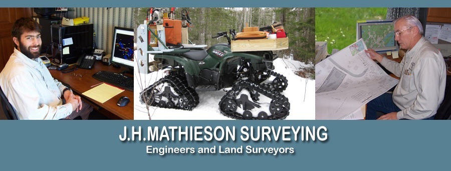
We are capable pf fielding three-man survey crews.
Our survey crews are equiped with four-wheel drive vehicles, two way radio
communication, moble phone system and electronic total stations with electronic
data collectors.
We also own and operate a duel frequency Global Positioning System (GPS) and
Prisim-Less Laser Pule Total Stations.
We offer mapping using SBAS (Satellite Based Augmentation Systems) providing
submeter real time accuracy in the US with (WASS (Wide Area Augmentation System).
Land Management and Environmental Engineering
- Environmental Site Assessments -Tier 1, 2, 3, 4, 5,
- Wetlands and Rivers and Risk Assessments
- Shore Land Stability Assessments
- Sanitary Waste Water Treatment Projects - Public and Private
- Water Supply Systems Projects - Public and Private
- Estate Planning with the Environment in Mind
- Conservation Management, Maintennance of Estate Boundaries
- Cluster Housing, Management and Boundary Control
- Solid Waste Disposal Site Plan Control and Management